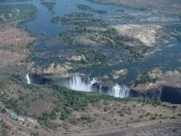
13 facts about Niagara Falls
It lies on the border of two countries, near two cities of the same name, and feeds two power plants.Niagara Falls is a waterfall lying on the river o ...
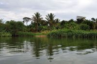
11 facts about Komodo National Park
Komodo National Park is a protected area located in Indonesia. It is one of the country's fifty national parks, located in the Lesser Sunda Islands. T ...
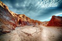
29 facts about Colorado
Colorado is one of the larger American states, bordered by longitude and latitude. The state is famous for its varied landscape of mountains, forests, ...