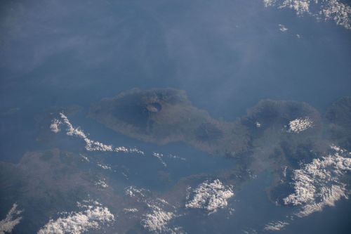
Ojos del Salado is a stratovolcano belonging to the Andes mountain range, located on the border between Argentina and Chile.
With an altitude of 6891 meters above sea level, it is the highest volcano in the world and the second highest peak in the Southern and Western Hemisphere, after Aconcagua (6960 meters above sea level).
The last eruption of the Ojos del Salado took place about a thousand years ago.
It is located in the Central Andes on the Chilean-Argentinean border.
Its elevation is 6893 meters above sea level.
It rises from the southern end of the Atacama Plateau (Puna de Atacama), a plateau that lies next to the Atacama Desert, where the average altitude is 4,000 meters.
The Argentine part of the summit is located in the province of Catamarca, and the Chilean part is located in the province of Copiapo in the Atacama region.
It is formed by overlapping smaller volcanoes with more than twenty craters. Two towering rocky peaks surround its large crater, which has collapsed. The two peaks - Chilean (Torreon Oeste) and Argentinean (Torreon Este) - are of similar height. They are separated by a vertical crevasse 30 meters deep.
Located in a crater at 6390 meters above sea level, it is the highest known lake in the world.
In 2019, mountaineer Michael Hernan became the first person to dive the lake.
It is the highest volcanic region in the world, whose landscape is often described by tourists as a "moonscape". The region is also home to many hot springs.
Due to its location in the heart of the Puna de Atacama, it has a very dry climate. Snow occurs only in winter and only at higher elevations - most of the peaks around Ojos del Salado are not covered with ice.
The glaciated areas are in fact immobile firn fields (ice that is in an intermediate stage between snow and glacial ice), where the ice reaches a thickness of only 10-15 meters and a surface of several meters. The water released by the melting ice feeds the streams.
It is located in the Central Volcanic Zone (CVZ), which includes Peru, Bolivia, Chile, and Argentina and contains approximately 1,100 volcanoes (many of them very old). In addition to stratovolcanoes, the CVZ includes numerous calderas, lava domes and flows, pyroclastic cones, and maars.
Ojos del Salado forms the southern boundary of the CVZ.
Above these heights, mosses and lichens have been found, with green growths in the summit area. Birds (ducks, flamingos, geese) and mammals (guanacos, vicuñas) are found in the lower areas, southeast of Ojos del Salado. Chinchillas and vicuñas live in the valleys south of the volcano.
To the west of the volcano is the Tres Cruces National Park.
It was volcanically active during the Pleistocene and Holocene, producing mainly lava flows. The last eruption took place around 750 AD. In 1993, steam emissions were observed from the volcano, which could represent another eruption.
Chile's geological agency, SERNAGEOMIN, ranks Ojos del Salado 75th (out of 92) as a volcano with a very low risk of eruption. Future eruptions would likely produce lava domes, lava flows and minor explosive activity. Impacts would likely be limited to the immediate vicinity of the volcano, such as the Chile Route 31 highway.
Jan Alfred Szczepanski (journalist, literary critic and mountaineer) and Justyn Wojsznic (mountaineer and climber, editor, publicist), members of a Polish expedition to the Andes, climbed the peak during the Second Polish Andean Expedition in 1937.
There is also a theory that the volcano was named after the mineral deposits on its slopes, especially since the Salado River does not originate at Ojos del Salado and its name was already known.
Archaeologist Ricardo Moyano pointed out the probable presence of temples located at high altitudes in the Ojos del Salado volcano.
On April 21, 2007, Chilean Gonzalo Bravo and his co-pilot Eduardo Canales Moya broke the world record for a land vehicle by climbing 6688 meters above sea level on Ojos del Salado aboard a Suzuki Jimny modified for the route.
The record was listed in the Guinness Book of World Records in July 2007.


