


18 facts about Crested gecko
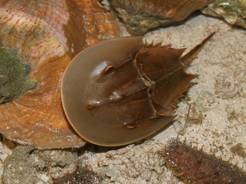
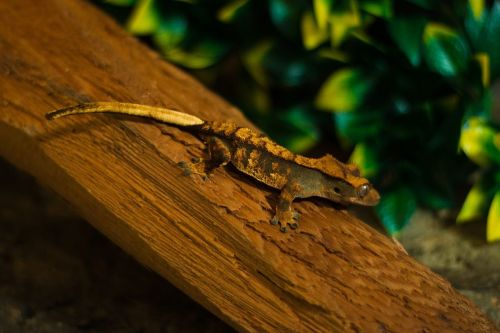
Crested geckos are one of the largest gecko species. Although considered endangered in the wild, they are one of the most popular reptiles kept as pet ...
Nan Madol is a medieval city located on one of the islands of the Micronesia Archipelago, in the Pacific Ocean. This relic of distant history has nothing to do with the ancient past of the Mediterranean shores or closer artifacts of Asian culture. Nan Madol as the first cultural object in the Pacific island areas has been inscribed on the UNESCO World Heritage List and only now has the chance to reach the consciousness of people around the world.